Interactive Map
Display all your flights on interactive map
Map View
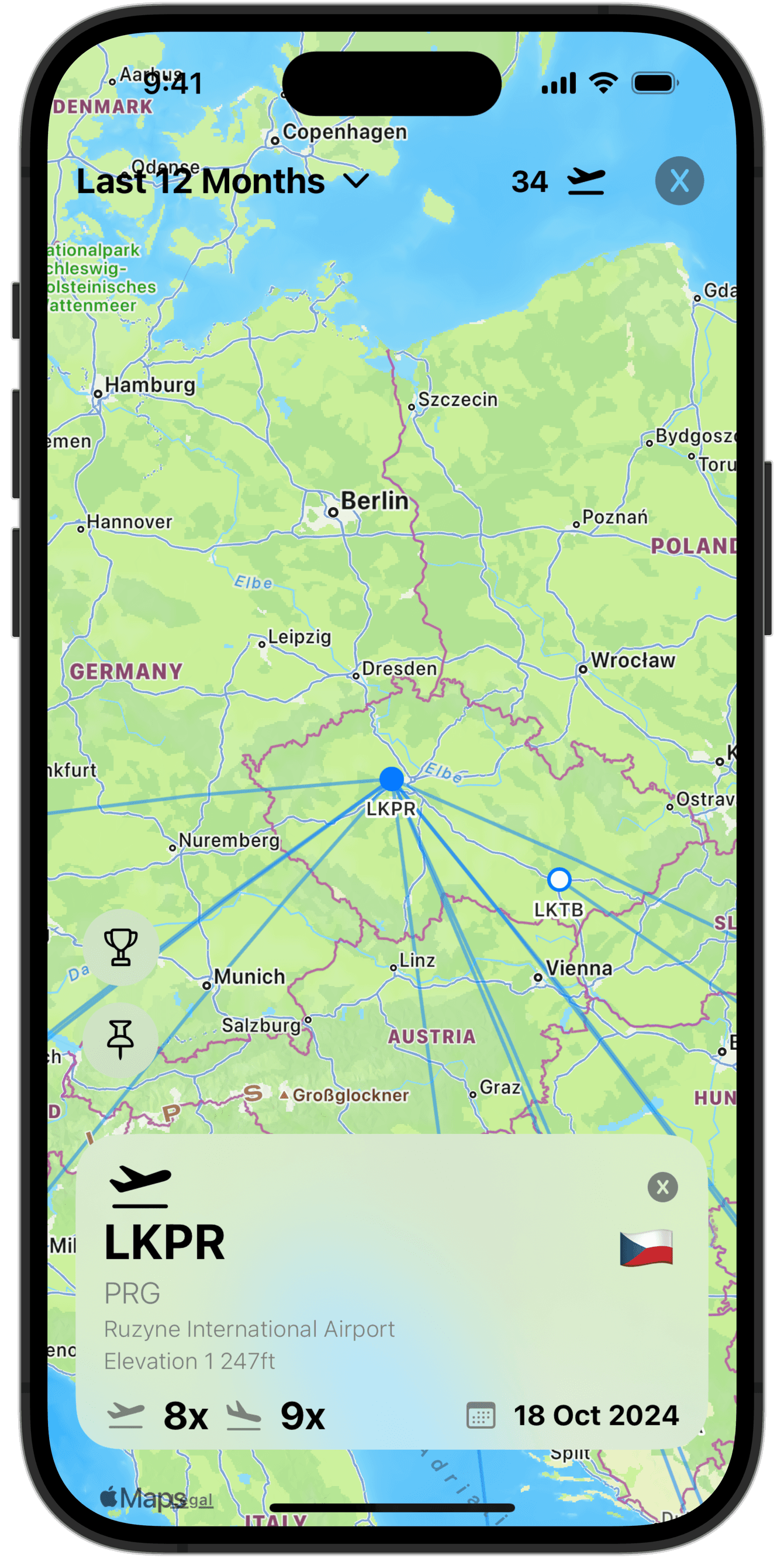
Interactive map allows you to review all your flights, city pairs and airports on a single page. You can access this page from the Stats Tab (iPhone) or directly from side bar (iPad, Mac)
Date Range: Select date range from the pre-set values (7 days up to 5 years back) or set a custom range (90 days is default)
More Info: You can tap on any airport (white dot) or any city pair dot (blue dot) to display more information about the airport/city pair:
Number of flights/take-offs/landings
Date of last flight
Flight Distance
Number of Flights: Number of flights displayed on the map is indicated by the airplane symbol in the top right corner
Note: If the number of city pairs goes above 200, the automatic camera pan is disabled and some flights may be redacted from view to preserve performance. Warning will show on the display.
Pin Toggle: Toggle city pair and airport labels on / off for more clarity
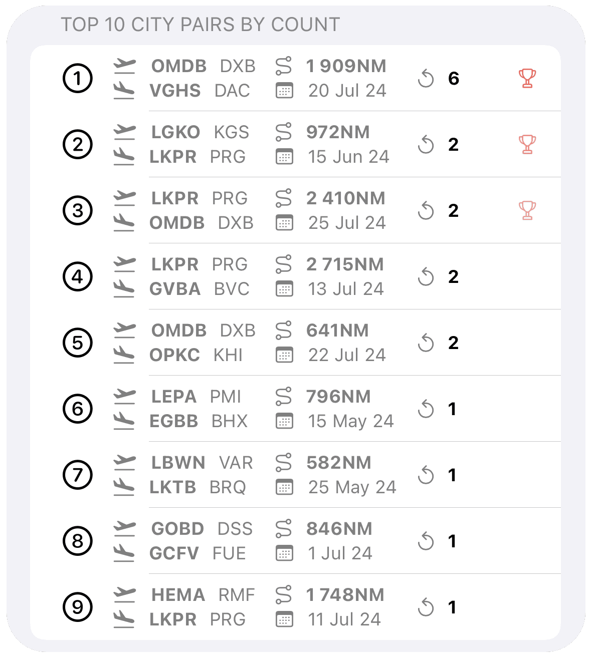
Top Ten View
You can access the Top Ten view by tapping on the trophy symbol on the interactive map
Top Ten view displays top 10 airports in selected date range:
City pairs by count or distance, and
Top 10 airports by departures
The displayed information ranges from flight distance, last flight and number of flights